© 2025 Iris Imaging. All Rights Reserved

Image

Drone Imaging

Image

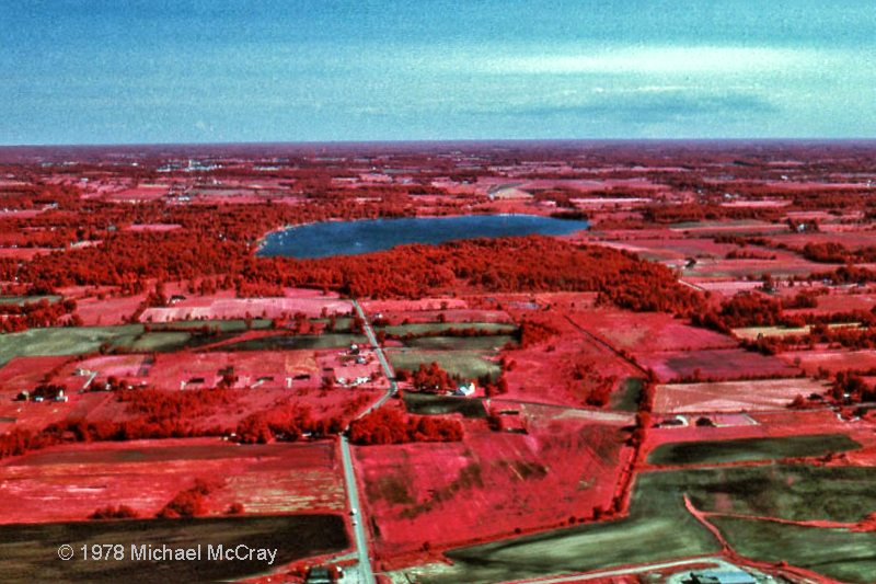
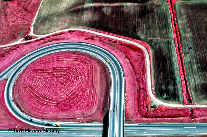
My first aerial photography was light plane real estate photography in the late 70's. The two false color infrared images are from that period. I hold Part 107 Remote Pilot Certification for Small Unmanned Aircraft System from the Federal Aviation Administration, (drone).

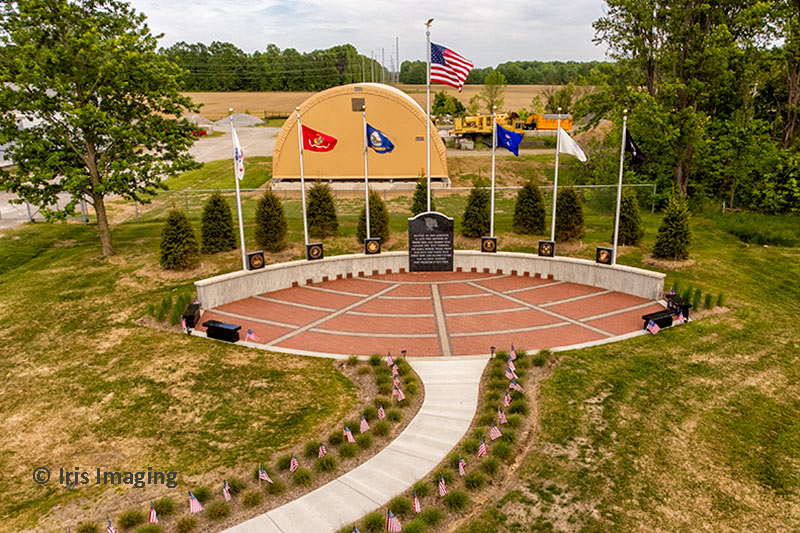
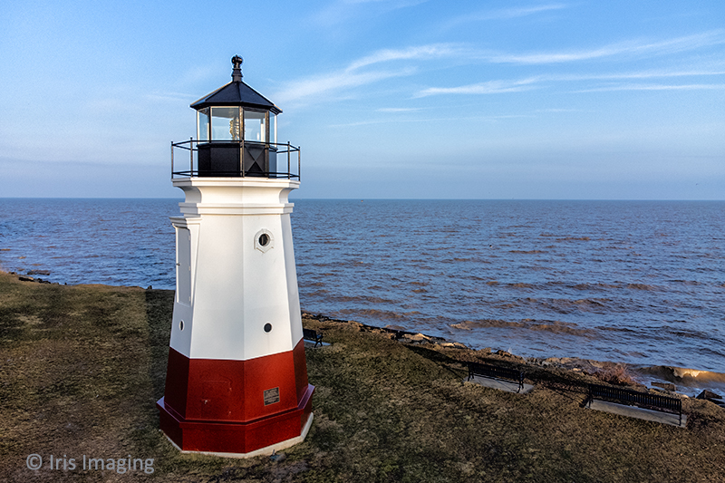
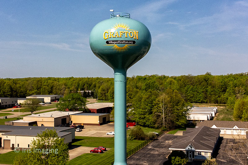
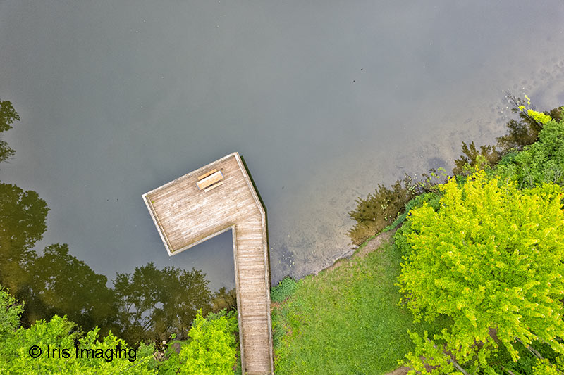
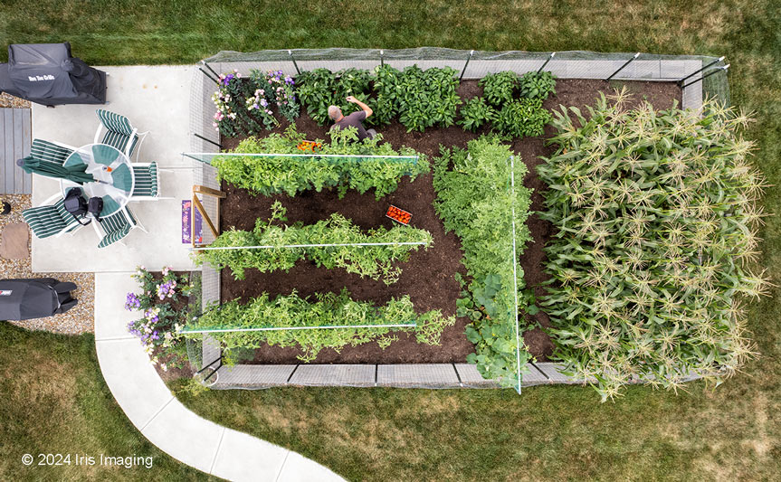
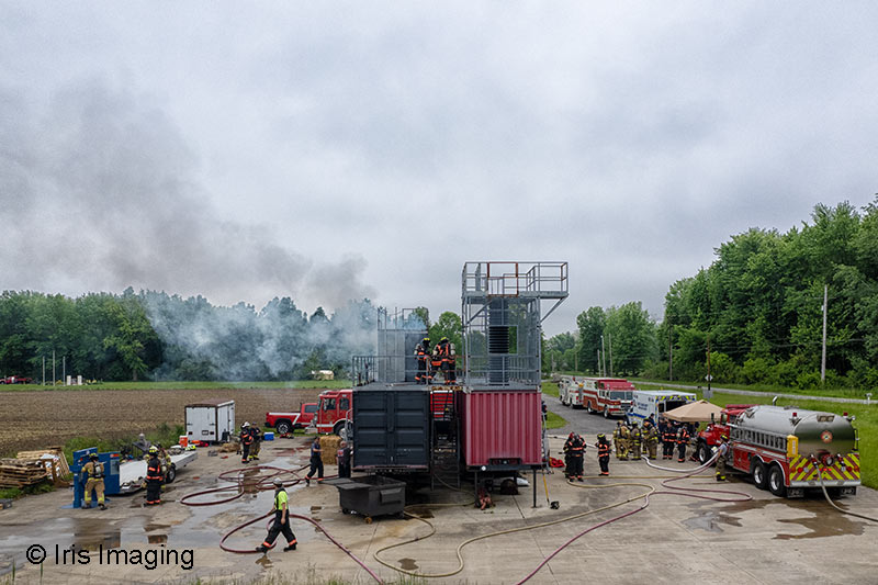
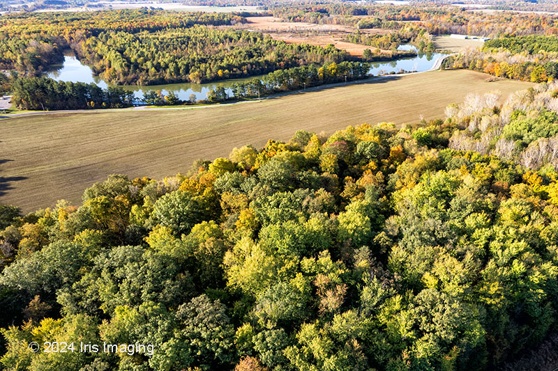
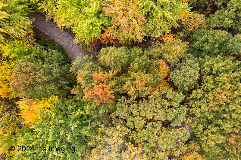
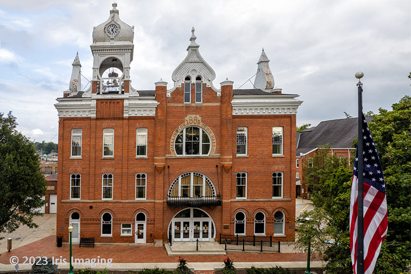
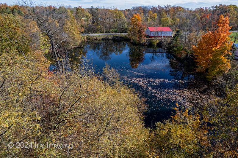
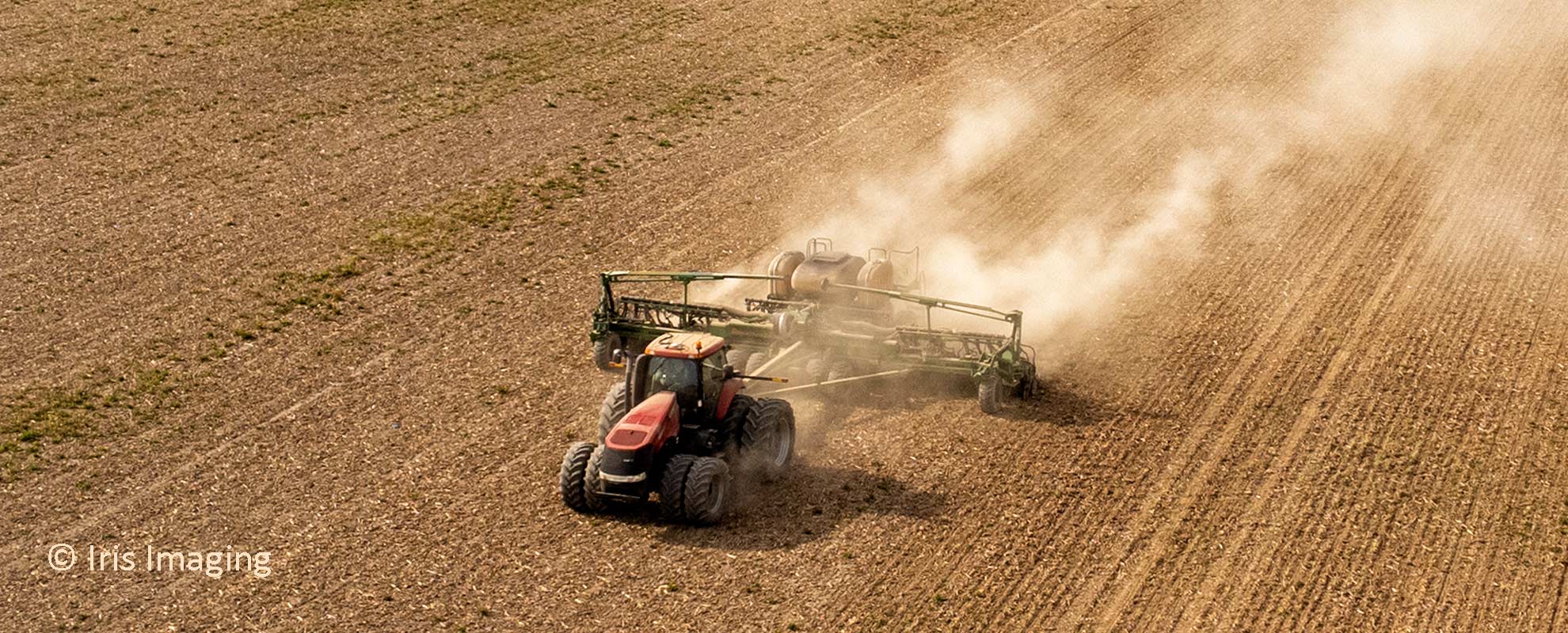
I specialize in aerial "still photography". Often the idea is simply to provide a more interesting point of view than a conventional photograph. Often, that may simply mean 20 or 30 feet off the ground or 400 feet up.

Multiple plane perspectives in linear panoramas and photo-illustrations are my primary interest. However, I do collaborate with other pilots to ensure your needs are met.

(click image for caption)

  • False color Infa red aerial 35mm film
  • Carlise Township Veterans Memorial
  • City of Vermillion Light House
  • Northwest Bank Elyria Ohio 9 photos
  • Lorain Republic Steel Mill
  • Midway Mall Elyria
  • Shot from the mouth of Black River Lorain
  • Ore boat coming up Black River in Lorain
  • Grafton Water Tower
  • Elyria Water Distibution Workers
  • Lorain County Justice Center
  • Waste Water Treatment Plant
  • Rowland Nature Reservation lake in Elyria Township
  • My brother farming his property
  • Photograph the firemen exercise on the ground and a drone shot.
  • View of  Wellington Township
  • Rowland Nature Preserve Trail Elyria, Township
  • Wellington Town Hall
  • Willow Lake in Grafton Ohio